Alpine Lakes Region
Individual Regions
History of the Alpine Lakes Region
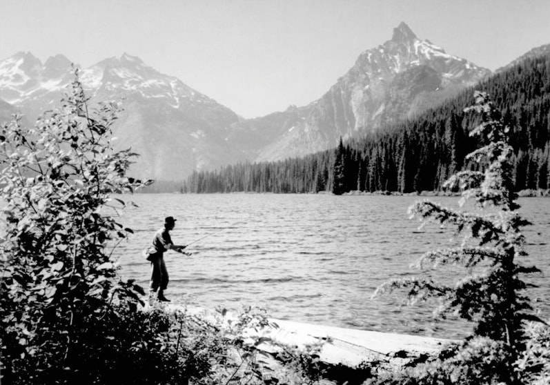
Fishing in Waptus Lake. Summit Chief and Bears Breast mountain form the skyline. Photo: John Warth |
Native Americans lived in and around the Alpine Lakes region from time immemorial, and traveled across the mountains frequently.
Logging and mining began in the area before 1900, and much wild country was lost during the 20th century, with roads pushed up most valleys. But, as more people visited and fell in love with the Alpine Lakes country, pressure grew to save it. In 1968, the Alpine Lakes Protection Society was founded, and with members both east and west of the Cascades, it mounted a grassroots campaign that led to Congress designating 393,000 acres as the Alpine Lakes Wilderness in 1976. A special Management Unit surrounding the Wilderness was also created, to provide for non-Wilderness recreation and other uses. |
The politics of the day dictated that the Wilderness area protected mostly high country, with some key exceptions. Most of the biologically productive, species-rich low elevation valleys, the core of the Cascades ecosystem, were excluded.
The need to protect these low valleys and other ecologically rich areas outside the Wilderness is a major reason why there is a continuing need for a group like ALPS. For more ALW history, see the back of the ALPS map, available from alpinelakes.info@gmail.com.
The need to protect these low valleys and other ecologically rich areas outside the Wilderness is a major reason why there is a continuing need for a group like ALPS. For more ALW history, see the back of the ALPS map, available from alpinelakes.info@gmail.com.